top of page


A premier AI platform for automated drone workflows and data intelligence
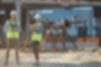
Organisations choose AlturaSense because it delivers repeatable, highly accurate results and lets teams capture information far more often than traditional methods.

Trusted by leading companies worldwide
Global enterprises rely on Skycatch solutions every day to handle demanding geospatial tasks.


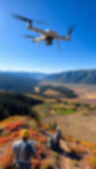
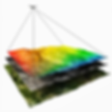
AlturaSphere
Conjures a complete, 360° view of the worksite—ideal for a cloud platform or unified analytics hub.
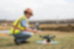
AlturaEdge
Signals on‑prem or at‑source ai-powered processing power; plays nicely with the existing AlturaSphere story.
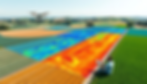
AlturaVista
Emphasises clear, high‑definition visibility across terrain or project phases.
“With AlturaSense we cut the time to produce high‑precision 3D models by 70 % and map triple the area in 10–15 minutes instead of three hours of laser scanning, all while improving safety and eliminating blind spots with AI technology.”
Millar Crook
CPO, CA,USA.


Ready to grow? Let AlturaSense help you meet your geospatial‑data goals.
Stay informed—sign up for our newsletter for the latest product news and insights.
bottom of page